Look around places before you go
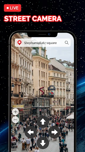
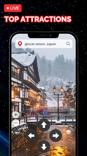
Live Earth Map: Street View 3D combines maps, street-level views and camera feeds for browsing places around the world. It may suit travellers checking out a destination from home, or anyone who likes to explore landmarks and landscapes without planning a full route.
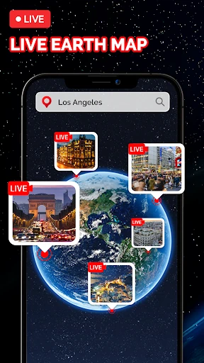
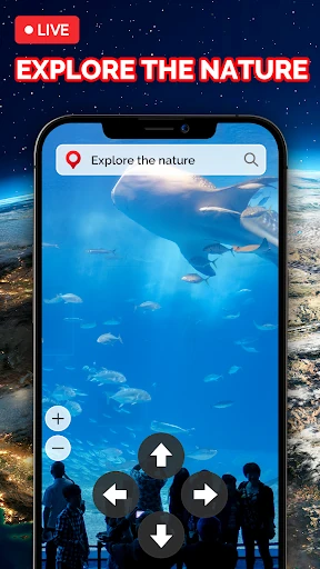
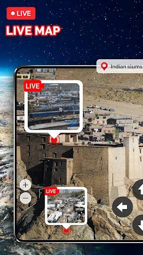
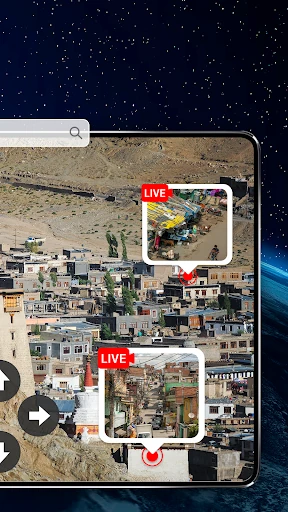
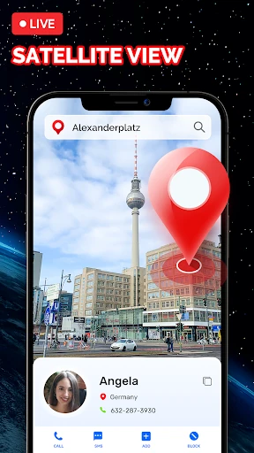
The app includes 3D street views and map navigation, along with live camera streams from different locations. You can look up famous attractions, switch to panoramic views, and browse scenes such as mountains or ocean. Camera availability and what each feed shows will depend on the location.
Useful for a quick preview
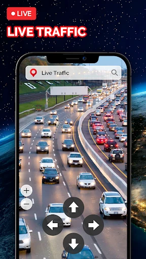
For trip planning, the map can help you locate places and get a visual sense of the surrounding area. The reference information also describes traffic conditions and navigation features, so the app may be handy when you want map guidance as well as a look around. It is best treated as a browsing and planning tool, rather than a guarantee that every location has a current camera view.
A distance and area measuring tool is included for checking rough spans on the map. You can also pin places you have visited to keep a simple travel log. These extras give the app a few practical jobs beyond sightseeing, though the central appeal is still exploring places visually.
What to expect
- Maps with 3D street views and landmark browsing.
- Live camera feeds and 360-degree panoramic views.
- Tools for measuring distances or areas and marking visited places.
Live Earth Map: Street View 3D is listed in Travel & Local and is made by Droid-Developer. Its 4.15 rating comes from about 63,883 ratings, and it has more than 10 million installs. Those figures suggest a widely used app, but they do not tell you whether a particular camera or view will be available where you want to look.